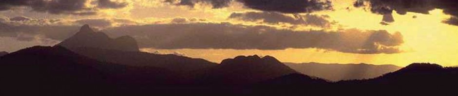
Kyogle, known as the “Gateway to the Rainforests”, is situated at the head waters of the Richmond River, adjacent to the World Heritage listed Border Ranges National Park

Photo © courtesy of Wendy Sibley
It’s a great base for a variety of self drive half day and full day driving tours through the region, providing a range of experiences – from World Heritage national parks and rural Australian countryside, through to farmland and historic settlements, aboriginal history and alternative lifestyles.
The most famous drive is the Lions Road Scenic Link (“Lions Loop”) Rd, which parallels the Sydney – Brisbane rail line from just north of Kyogle in NSW, through to Rathdowney in QLD.
The picnic lookout at the top of the range is also a popular spot for train and rail buffs, who watch for the freight and passenger services travelling through the rail loop tunnel.
Bird trails are also very popular, with a mix of eucalypt, grassland, rainforest and swamp habitats offering a variety of places get that elusive “lifer”, or to spy a shy local like a Paradise Rifle bird, Regent Bowerbird, or Red-backed Button -quail.
Brochures for “Bird Trails of Kyogle and District”, the Lions Road Scenic Link, and other self driving tours, can be picked up at the Kyogle Visitor Information Centre.
For more information on Kyogle and surrounding towns and villages, go to the Big Volcano Visitor Guide – Kyogle.

Pingback: About Woodenbong and Urbenville, NSW | Big Volcano Visitor Guide
Pingback: Chasing waterfalls | Big Volcano Visitor Guide